
Fresh yellow weather warnings for snow and ice are set to take effect across Britain this evening, with forecasters predicting up to six inches of snowfall in some areas.
The Met Office alert, covering a vast stretch from Derby northwards to Scotland, will be active from 9pm tonight until 10am on Sunday morning.
Snowfall could prove “heavy at times” according to forecasters, potentially causing significant travel disruption.
Lower-lying areas may see between one and three centimetres of accumulation, while ground above 150 metres elevation could receive three to seven centimetres.
The most substantial falls are anticipated at altitudes exceeding 400m, where 10 to 15 centimetres could settle.
A separate warning applies to Northern Ireland from 5pm until 10pm, with two to four centimetres possible above 200 metres.
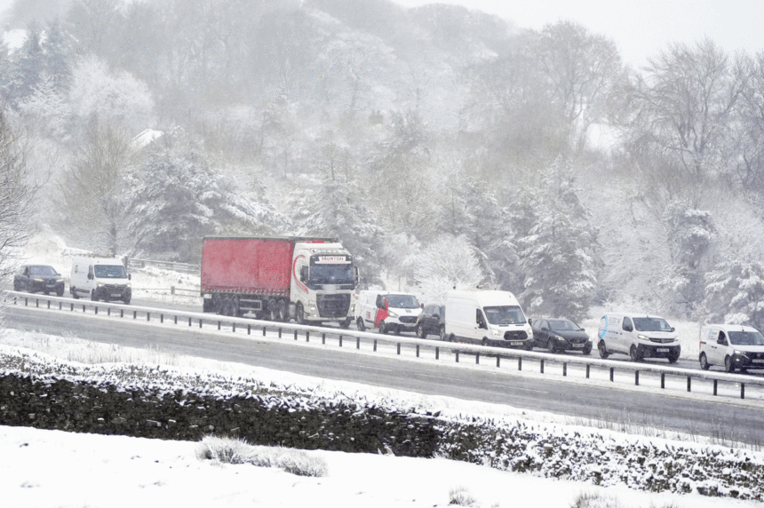
Travel chaos has already begun, with the A66 between Bowes in County Durham and Brough in Cumbria forced to close due to heavy snow.
National Highways confirmed crews were on site clearing and treating the carriageway.
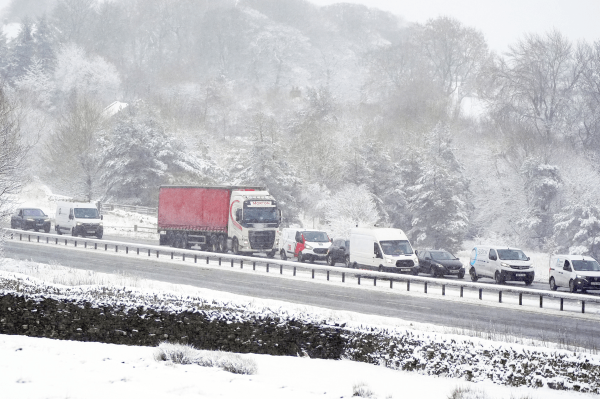
Cars and lorries queue on the A66 at Bowes Durham
|
PA
The Met Office has cautioned that untreated roads, pavements and cycle paths are likely to have icy patches.
Pedestrians have been advised to take their time and avoid rushing to prevent slips and falls on frozen surfaces.
Motorists are being encouraged to carry emergency supplies including warm clothing, food, water, blankets, torches and ice scrapers in case of delays.
Those needing to travel on foot should stick to main road pavements where possible, as these are more likely to have been gritted.
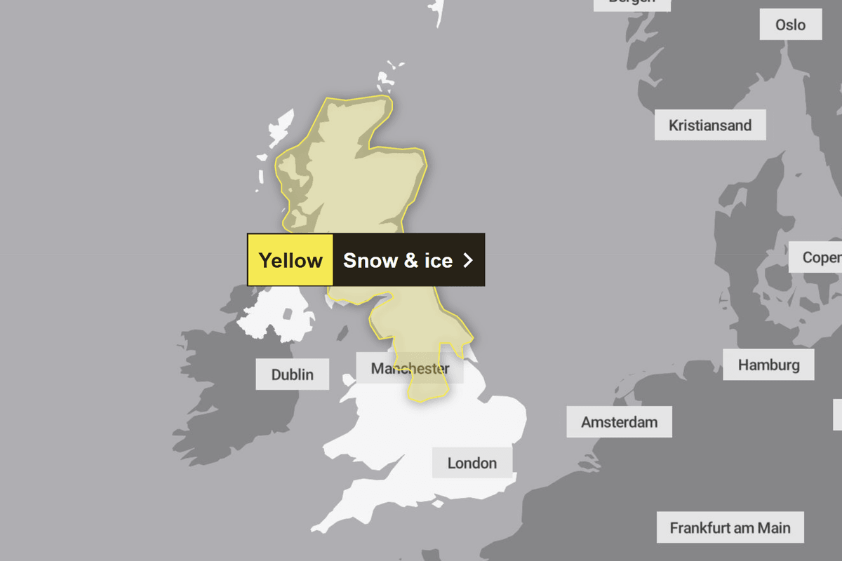
The warning covers the majority of Scotland and Northern England
|
MET OFFICE
The Environment Agency has urged the public to remain vigilant as flood risks persist across the country.
As of Saturday morning, 77 flood warnings and 160 flood alerts remained in place.
Jonathan Day, flood duty manager at the Environment Agency, said more than 24,000 homes and businesses have been protected, though approximately 330 properties have been flooded.
Met Office Meteorologist Dan Stroud indicated that conditions will remain unsettled into next week.
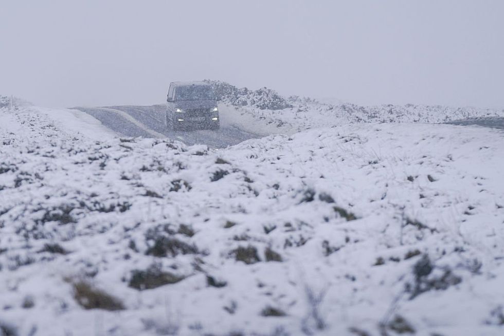
Heavy snowfall near Boosbeck, North Yorkshire
|
GETTY
He said: “We do start to see skies turn hazy from the west during the course of the afternoon, pushing eastwards overnight.
“That rain, sleet and snow continues to push eastwards during the course of the morning.”
Further rainfall is anticipated from Monday and is expected to persist throughout the coming week, following what was a record-breaking January for precipitation in many parts of the country.
The UK Health Agency has issued yellow health alerts covering northern England and the Midlands in response to the Arctic conditions.
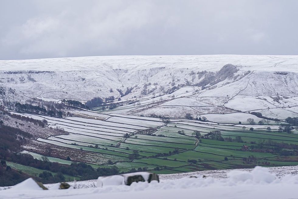
Snow covers the high ground of North Yorkshire moors near Danby
|
GETTY
The agency warned the weather is likely to have “minor impacts on health and social care services, including increased use of healthcare services and a greater risk to life of vulnerable people”.
Temperatures plunged to minus five degrees Celsius overnight as a freezing Arctic maritime air mass swept across the nation.